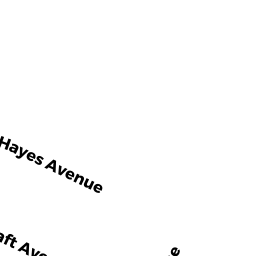
16 HAYES AVE
Owner Information
KNAPP ANNE MARIE ROSE
16 HAYES AVE
BEVERLY, MA 01915


Property Details
16 HAYES AVE is classified as a Single Family Residential (Cape).
The primary structure on this property was built in 1928. There are 1,570ft2 of built area within this property. There is 1,570ft2 of residential/living space within this property. This property is listed as having 6 rooms.
16 HAYES AVE is valued at $454,200. The land is valued at $249,700 and the structures are valued at $201,000. There is an additional valuation of $3,500 on this property.
This property is in Zone R10. Confirm with local Zoning Board authorities to ensure there are no overlays or other easements on this property.
The most recent deed for 16 HAYES AVE is recorded at the local registrar in Book 29780, Page 462. 16 HAYES AVE was last sold on Monday, September 20, 2010 for $1.
Assessment data from fiscal year 2022.
Flood Data
According to the FEMA National Flood Hazard Layer, this property does not appear to be in a flood zone. It may also be in an area not yet reviewed. Nonetheless, confirm this information prior to taking any action.
To view the flood hazards around this property, create a FEMA "Firmette" Map of the area around 16 HAYES AVE.
Broadband Internet Providers
| Provider | Type | Bandwidth (mbps) | |
|---|---|---|---|
| Comcast | Cable | 1000 | 35 |
| Viasat Inc | Satellite | 100 | 3 |
| VSAT Systems, LLC. | Satellite | 2 | 1 |
| HughesNet | Satellite | 25 | 3 |
| GCI Communication Corp. | Satellite | 0 | 0 |
| T-Mobile | Fixed Wireless | 25 | 3 |
| Verizon New England Inc. | DSL | 7 | 0 |
Broadband service provider data from December 2020.
Adjacent Properties
- 18 HAYES AVE
Single Family Residential owned by CAPRIOLI CARLOS - 14 HAYES AVE
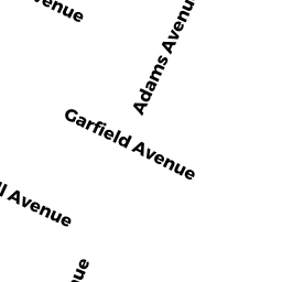
Single Family Residential owned by DION BEVERLY A - 8 ADAMS AVE
Single Family Residential owned by DEPIERO DONALD - 15 TAFT AVE
Single Family Residential owned by DEPIERO CHRISTOPHER P - 13 TAFT AVE
Single Family Residential owned by FINES GIBSON